How Does a Satellite’s Orbit Determine What It Can Do?
The most useful question is not what a satellite is, but what it must keep observing or transmitting. Orbit determines that relationship with Earth.
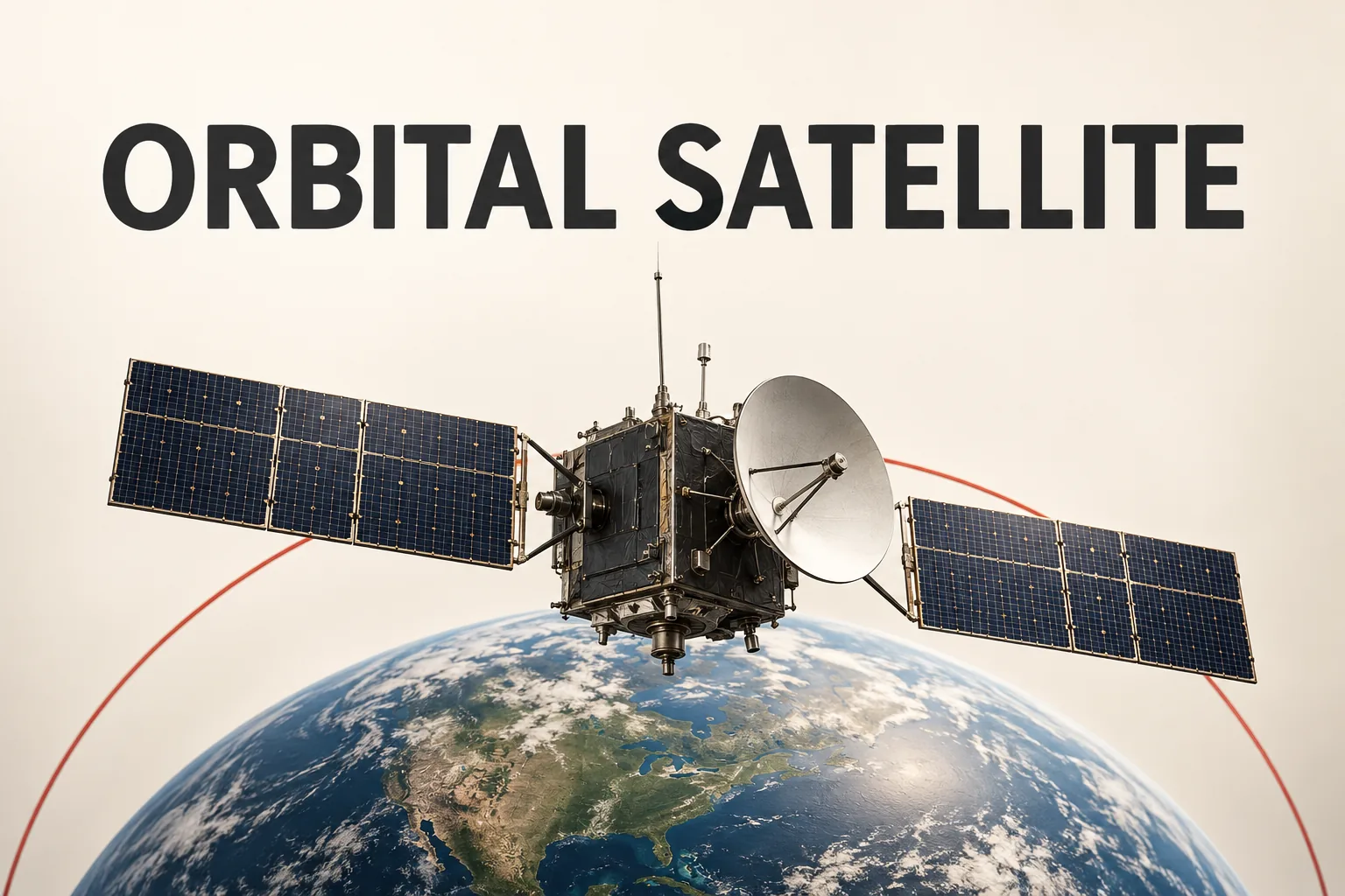
Satellite sounds like a single technology, but it is really a category. NASA defines a satellite as an object that orbits another body. The Moon is a natural satellite; spacecraft used for weather, communications, navigation, Earth observation, and science are artificial examples. (NASA and NASA Space Place)
That definition does not explain why one satellite is useful for one job and another is not. The more useful question is: what must the system keep observing or transmitting, and how must it move relative to Earth?
Orbit determines the kind of view a satellite can maintain
NASA describes an orbit as a regular, repeating path. A satellite remains in orbit because its forward motion and Earth’s gravity work together: it is continually pulled toward Earth while moving forward rather than dropping straight down. (NASA Space Place)
That motion creates different viewing patterns. A geostationary satellite travels over the equator at the same rate Earth rotates, so it appears to remain above one location. A polar-orbiting satellite travels approximately from pole to pole while Earth rotates beneath it, allowing it to scan much of the planet. (NASA Space Place)
The practical distinction is not simply high orbit versus low orbit. It is whether the mission needs a persistent view of one broad region or observations from changing positions around Earth.
Weather satellites show why coverage choices matter
NOAA’s geostationary satellite program describes satellites that continuously monitor the same region. That type of coverage is suited to following changes across a fixed area, including developing weather. (NOAA NESDIS)
NOAA’s low-Earth-orbit observation program describes a different role: polar-orbiting satellites collect observations across the globe as they move around Earth. Their path also makes coverage of polar areas possible. (NOAA NESDIS)
The important inference is that “more satellite data” is not a single benefit. A continuously updated view of one region and broader observations gathered from moving passes answer different questions. Choosing between them depends on whether the priority is watching change in place or building coverage across places.
GPS demonstrates that a satellite does not have to produce an image
Weather satellites make the viewing problem easy to picture, but satellites can also function mainly as signal infrastructure. GPS.gov describes the GPS space segment as a constellation whose satellites transmit radio signals to users. Those signals include timing and navigation data that receivers use to determine position, navigation, and time. (GPS.gov)
In this case, the useful output is not a photograph. The receiver depends on transmitted signals and timing information. That difference matters when evaluating a satellite claim: the satellite’s purpose may be observation, communication, or signal delivery rather than visual coverage.
A better way to read satellite claims
When a description says that a satellite can do something, separate three layers:
- Mission: What does it measure or transmit?
- Geometry: Does it appear to stay over one region, or does it move around Earth while Earth rotates beneath it?
- Evidence: Does the source establish continuous regional monitoring, broad coverage, or navigation and timing signals?
This prevents “satellite” from becoming shorthand for “live view from space.” The word identifies an object in orbit; it does not, by itself, identify the data, coverage, or service that object can provide.
The shortest answer is this: orbit sets the satellite’s relationship with Earth, while the mission determines what that relationship is used for. Geostationary and polar-orbiting systems illustrate different coverage patterns, while GPS illustrates a signal-based role. To understand what a satellite can do, start with the required view or transmission—not with the label alone.