What the Deep Sea Really Means—and How We Explore It
The deep sea is not simply the ocean’s deepest point. It is a changing set of conditions—fading light, cold water, rising pressure, and limited visibility—that determines what scientists can observe and which tools they need.
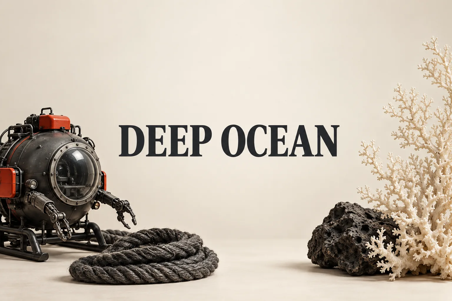
The deep sea is generally defined as ocean water below about 200 meters (656 feet), where sunlight begins to diminish rapidly. That does not mean it is limited to trenches or the ocean floor. It is better understood as a part of the ocean where the conditions change enough to alter how life exists—and how researchers can collect evidence.
Where does the deep sea actually begin?
NOAA Ocean Exploration describes the upper 200 meters as the sunlight, or euphotic, zone. Below that is the twilight zone. At roughly 1,000 meters (3,280 feet), sunlight is absent and photosynthesis cannot occur. The boundary is therefore useful because it describes a change in available light, not a visible line in the water (NOAA Ocean Exploration).
This distinction changes how the deep sea should be pictured. It is not one uniform, permanently black space. Conditions become progressively more restrictive with depth. NOAA gives the deep ocean an average temperature of about 4°C (39°F), while pressure rises by approximately one atmosphere—about 14 pounds per square inch—for every 10 meters (32.8 feet) of descent. At 1,000 meters, pressure is roughly 100 times that at the surface (NOAA Ocean Exploration; NOAA Ocean Exploration).
Why is observing the deep sea an engineering problem?
Pressure is not just a background detail. NOAA explains that it can collapse ordinary air-filled equipment, so cameras, computers, lights, and other electronics need specially designed pressure housings. Equipment may also be analyzed and tested under pressure before deployment. The cold creates another problem: different materials can expand or contract at different rates, causing moving parts to seize or malfunction (NOAA Ocean Exploration).
Darkness also determines what counts as a useful observation. Vehicles use lights for cameras, but NOAA notes that positioning the lights away from the cameras can reduce glare from particles suspended in the water, sometimes called marine snow. Sonar can map the seafloor, detect organisms, and help determine a vehicle’s position; laser scanners can create three-dimensional models of features such as shipwrecks (NOAA Ocean Exploration).
The important conclusion is that “seeing the deep sea” is not one technical task. A sonar map, a live video feed, and a collected sample provide different kinds of evidence. A map can describe terrain, while video and sampling can document what was visible or collected at a particular location. Treating those as interchangeable can make the word “explored” sound more complete than the underlying observation actually was.
Which vehicle is used for which question?
NOAA distinguishes among three main types of submersibles. Human-occupied vehicles carry scientists and pilots. Remotely operated vehicles are tethered to a surface ship and controlled in real time through a cable that carries power and communications. Autonomous underwater vehicles operate without a tether and follow preprogrammed missions (NOAA Ocean Exploration).
That division is more useful than ranking one vehicle as universally better. A real-time ROV is suited to watching a target, operating manipulator arms, and collecting samples while people respond to what the cameras show. An AUV is suited to an untethered, preplanned survey. An HOV places people directly at the site. The vehicle follows the question; the question should not be chosen merely because a particular vehicle is available.
What does deep-sea exploration help us understand?
NOAA lists discovering and documenting species and habitats, mapping the seafloor and geological features, understanding ecosystems and climate connections, and improving ocean management and protection among the reasons for exploration (NOAA Ocean Exploration).
The most useful mental model is therefore a ladder of constraints: around 200 meters, light starts to fade rapidly; around 1,000 meters, sunlight is gone and photosynthesis cannot occur; with further descent, pressure and cold shape the equipment and the evidence it can produce. When a claim says that an area has been “explored,” the practical follow-up question is simple: was it mapped, filmed, sampled, or measured? That distinction turns the deep sea from a vague mystery into a set of specific questions with specific tools.